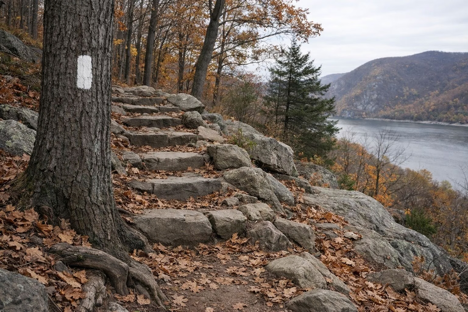
Bear Mountain Trail Map
Bear Mountain State Park's marked trails, from NYS Parks' official trail map: the Appalachian Trail (white, about 6 miles in the park), the Ramapo-Dunderberg (4.4 miles), the Suffern-Bear Mountain (yellow, 2.7), the Major Welch (red on white, 2.5), the 1777 East (red, 2.4), the 1779 (2.1), the Cornell Mine (blue, 2), the Popolopen Gorge (red dot on white, 1.8) and a 2-mile bike path. Most meet at the Bear Mountain Inn by Hessian Lake.
Trails in the Park
Official Maps to Download
NYS Parks publishes these for Bear Mountain (links on the NYS Parks Bear Mountain page):
- Trail map (PDF): every marked trail, parking, restrooms, viewpoints and tunnels.
- Recreation map and general information (PDF): the Hessian Lake area, fees and driving directions.
- Trailside zoo map (PDF).
- Suggested hikes (PDF): the routes on our hiking page.
- Trail closure map (PDF, December 2025, with the NY-NJ Trail Conference): which trails are still closed after the 2023 storm.
- Avenza map: a geo-referenced version for phones that works offline.
Download the closure map every time; it changes.
Trail by Trail
Lengths are the in-park figures from the NYS Parks trail map. Long-distance trails continue beyond the park.
Appalachian Trail (white) — about 6 miles
The first section of the AT ever built. It crosses the summit of Bear Mountain past Perkins Memorial Tower, descends to the Inn with the Suffern-Bear Mountain Trail, runs through Trailside Museums & Zoo, and crosses the Bear Mountain Bridge.
Major Welch Trail (red on white) — 2.5 miles
Named for the first General Manager of the Palisades Interstate Park Commission. It follows the west side of Hessian Lake, then climbs steeply about 900 feet to the 1,305-foot summit.
Suffern-Bear Mountain Trail (yellow) — 2.7 miles in the park
Climbs over the shoulder of Bear Mountain and joins the AT for the descent to the Inn.
Ramapo-Dunderberg Trail (red on white) — 4.4 miles in the park
Crosses Bald Mountain past the Cornell Mine with wide Hudson views; part of the 6.8-mile Bald Mountain loop.
Cornell Mine Trail (blue) — 2 miles
From the back of the Inn, shares the 1777E briefly, then drops to Route 9W and climbs nearly 1,000 feet to Bald Mountain.
1777 East (red) — 2.4 miles · 1777 West (red) · 1779
The Revolutionary trails follow the routes of the 1777 British attack on Fort Clinton and Fort Montgomery, through the Doodletown valley and north toward Popolopen Gorge.
Popolopen Gorge Trail (red dot on white) — 1.8 miles
Along the gorge and the old aqueducts north of the Inn, toward Popolopen Torne.
Popolopen Creek Trail (blue stripes on grey)
A short, steep, rugged link from Trailside's History Museum down stone stairs and over a footbridge to Fort Montgomery.
Bike path — 2 miles
The one route the trail map marks for bikes. Bikes are not allowed inside Trailside.
Landmarks on the Map
The Bear Mountain Inn (most trailheads), Hessian Lake, the pool, Trailside Museums & Zoo, the merry-go-round and ice rink, the Hudson River dock, Perkins Memorial Tower, Doodletown, Iona Island, and tunnels under Route 9W. The map also shows the edges of Harriman State Park to the west and Hudson Highlands State Park across the river.
Before You Hike
NYS Parks notes that all trails are shown as approximate and asks hikers to be aware of changing conditions and to report accidents to park police. Detours near the Inn on the S-BM, AT and Major Welch trails run through summer 2027. The park closes at dusk. See hiking and parking.
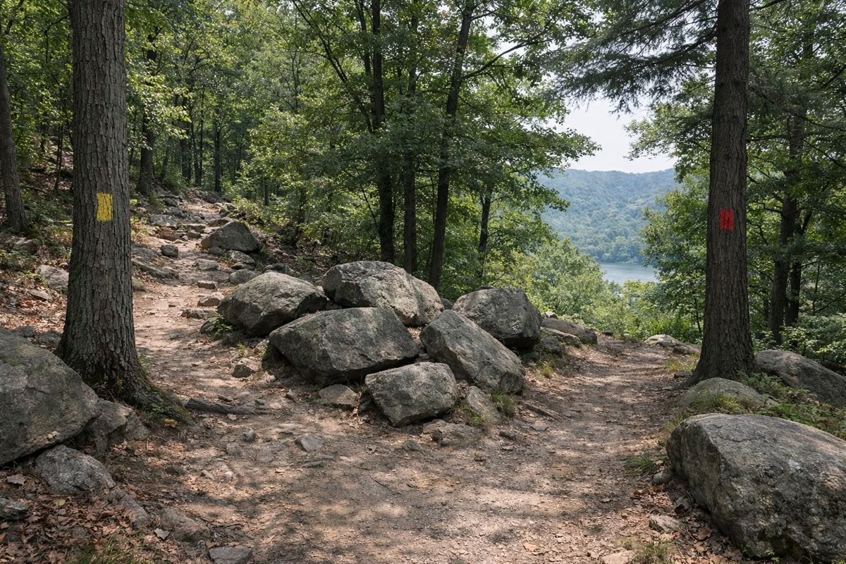
Bear Mountain Trail Map FAQ
Where can I get a Bear Mountain trail map?
NYS Parks posts a free PDF trail map, a recreation map, a suggested-hikes sheet and a trail closure map on its Bear Mountain page, plus an Avenza version for phones.
What color is the Appalachian Trail at Bear Mountain?
White. The Major Welch Trail is red on white, the Suffern-Bear Mountain yellow, and the Cornell Mine blue.
How long is the Major Welch Trail?
2.5 miles on the NYS Parks trail map. It climbs steeply about 900 feet to the summit.